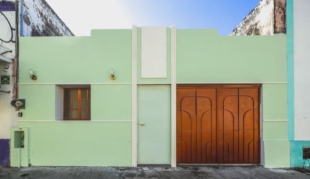
For sale
Lourdes, Mérida
Casa Lourdes
$6,500,000 MXN

MÉRIDA & THE YUCATÁN COAST
One city, many ways to live. Explore its neighborhoods, from Centro to the coast.
Indicative areas calculated by proximity to reference points. They are not official neighborhood boundaries, cadastral polygons or municipal limits. The outer perimeter is also approximate. Municipal cartography.
BEFORE YOU CHOOSE
Start with your routine: where you would work, which services you need and how much you want to rely on a car. The map helps you get your bearings; the guides explain each place. Then compare specific streets and properties rather than choosing by a zone’s name alone.
No. Centro includes buildings from different periods and many later alterations. An old-looking façade does not establish a house’s age or heritage status. Review the property and its records before describing it as colonial or planning alterations.
Reference: Patrimonio Cultural de Mérida
You are comparing established surroundings with more recently developed options, but no label describes every street. In Itzimná and García Ginerés, start at the parks and explore the surrounding streets. In a gated community or development, also review access, rules, fees and what has actually been built.
It depends on the address and your routine. Walk the routes you would actually use: groceries, work, school or medical appointments. Check shade, crossings and transport at different times. Being close on a map does not guarantee a comfortable trip.
Visit with an ordinary weekday in mind rather than only a holiday. Check groceries, healthcare, internet, your required journeys and access after rain. Also inspect maintenance, salt exposure and how the house works in different seasons.
No. They are exploration areas calculated by proximity to reference points. They help you navigate the city but do not determine cadastral boundaries, property rights or a property’s legal location. Consult municipal mapping and the documents for the specific address.
Reference: Geoportal de Mérida
Yes, along with the Plaza Grande core and the barrios already covered in our guides. Search by name or zoom into the Centro view. The map grouping is editorial and does not replace an official heritage designation.
For sale
Lourdes, Mérida
$6,500,000 MXN
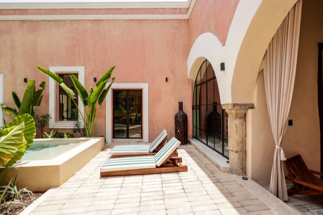
For sale
Santiago, Mérida
$995,000 USD
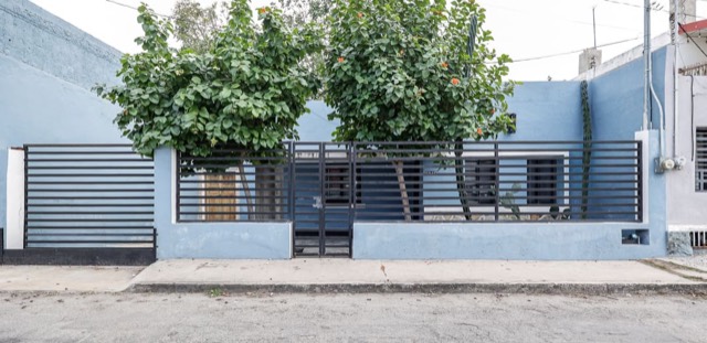
Sale and rent
Mejorada, Mérida
Sale · $4,900,000 MXN
Rent · $20,000 MXN / month
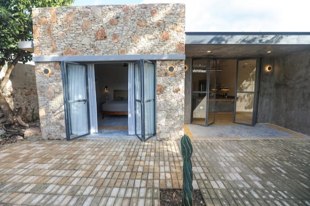
Sale and rent
Izamal
Sale · $2,900,000 MXN
Rent · $14,000 MXN / month
For sale
Yucalpetén, Progreso
$14,000,000 MXN
149.6 m² lot · 312.58 m² built